A new standard
for infrastructure
monitoring.
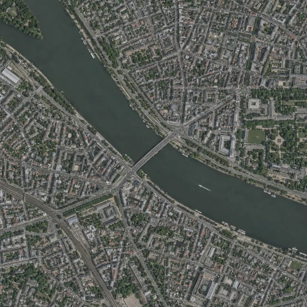
TIMS helps transportation teams use satellite imagery, AI, and geospatial data to monitor infrastructure, detect changes earlier, and focus inspections and maintenance where they’re needed most.
Automate the work of acquiring and interpreting Earth observation data, so your team can monitor more assets across your network.
Infrastructure disruption
One event. Connected consequences.